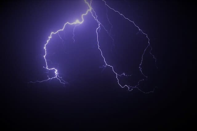
Weather: Return of Thunderstorms and Falling Temperatures, the Forecast for the Week

This Monday 26th June, temperatures sometimes dropped by 10°C compared to Sunday, before the return (again!) of thunderstorms, from the middle of the week. Weather forecast.
It was 29°C in Dinard (Ille-et-Vilaine) at midday on Sunday 25th June 2023. It was around 18°C at the same time on Monday 26th June. It was 33°C in Paris on Sunday, 20°C on Monday…
Apart from the southeast of the country, temperatures have dropped impressively over France in the past 24 hours. Temperatures have sometimes dropped by more than 10 degrees.
The explanation? “The direction of the wind, which went from southwest to northwest,” explains meteorologist Yann Amice to actu.fr. A westerly flow that could transport particles associated with the fires that have been taking place since last week in Quebec to France.
The maximum temperatures were three to five degrees above normal for the season this weekend, they will drop slightly below normal this week, but, for all that, thunderstorms will still invite themselves.
Météo France is already anticipating possible “dangerous phenomena”
It will be from the night of Wednesday 28th June to Thursday 29th June 2023, according to weather models. Meteo France is already anticipating possible “dangerous phenomena”.
“If the anticyclone is firmly planted on the Azores, a thalweg, also known as a “barometric trough” (an area of low pressure located between two areas of high pressure, editor’s note) will slide over the northeast edge of the anticyclone”, details Yann Amice.
By interacting with the warmer air present over the country, the air mass will (again) destabilize and cause thunderstorms, even if this stormy wave should not be comparable to that which the Southwest has experienced last week.
“On Thursday, the weather will become unstable with the arrival from the northwest of a rainy system which will take on a stormy character. On Friday, new stormy developments may occur, particularly in the Southeast. The intensity and exact location of these storms are to be specified. Dangerous phenomena associated with these storms should be monitored.”
Cold air at altitude which should arrive from Brittany
This cold air at altitude should arrive Wednesday evening from the tip of Brittany, then concern Normandy, Pays-de-la-Loire, Île-de-France, then the Alpes-Maritimes. “Unlike last week, when the storms crossed France from the southwest to the northeast, this time they will arrive from the northwest and cross France towards the southeast”, details the meteorologist.
What seems certain is that the high pressures will give way this week to more oceanic air on the fringes of a low pressure zone located on the North Sea. The temperatures will therefore drop over the week and the feeling may even be quite cool in the north.
Since mid-May, the weather has been a little reversed with beautiful summer conditions in the northern half and numerous thunderstorms in the southern third. This week will mark the return of “a more classic scenario”, explains the meteorologist. With more sun and heat in the south, and more clouds and coolness in the north.
Enjoyed this? Get the week’s top France stories
One email every Sunday. Unsubscribe anytime.


