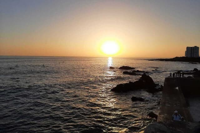
Weather in the Region of Lorient, the rain is back!

The arrival on Sunday morning, a depression in the Channel will generate the return of disturbed flow.
Saturday
Low clouds present at dawn evolve into a sunny morning before noon variable clouds and towering cumulus. In the afternoon, the sun, generous in Lorient, the coastal edge and Groix alternate with cumulus sometimes developed north of Quéven-Lanester Kervignac-axis. Back of a clear sky in the late afternoon despite discrete high altitude sails. Wind southeast low in the morning, moderate the afternoon (3 strength, gusting 25-30 km/h, 40 Groix). Fort Blocked: westerly swell <1m. Low: 4 / 5 degrees; maximum: 15/ 16 degrees; (3 / 4 degrees to 16/ 17 degrees inland). Starry sky in the evening with the purpose of high altitude sails; 13 degrees at 8pm and 9 degrees at midnight.
Sunday
Thundershowers in the morning before the arrival of continuous rainfall, moderate to abundant enough in the morning. The front, which drains east at midday before the return of a variable sky and cumulus clouds and unstable throughout the afternoon clouds, towering cumulus and sometimes heavy and thundery showers. South wind (force 4, 50-60km/h gusts 70-75 Groix) veering west morning to the first moderate midday then freshening (force 3-4, 40-50km/h gusts 60- 70 Groix and coastal headlands) Fort Blocked: westerly swell 1.5 and 2 meters. Low: 7 ° / 8; maximum: 14 / 15 degrees; (6 / 7 degrees to 14 /15 degrees inland).
Enjoyed this? Get the week’s top France stories
One email every Sunday. Unsubscribe anytime.


