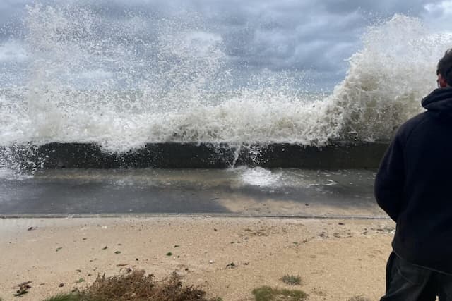
A Storm in France at the Beginning of December? A “Significant Wind Event” Increasingly Likely

France will find itself under the influence of a “very dynamic” ocean flow in the coming days, with repeated disturbances and the risk of very strong winds.
A little milder, but above all more wet and also sometimes very (very) windy. The weather in France, it promises to be disrupted in the coming days, particularly at the beginning of December 2025.
One (first) gust of wind is already in the sights of forecasters in the northwest of the country for the end of this weekend of Saturday November 29 and Sunday November 30, 2025.
“ A disturbance will arrive on the night of this Sunday, November 30 in the west, and the wind will then begin to strengthen, but without excess either for the season, but nevertheless with gusts of 90 km/h in the Channel and in the northern quarter -west of the country”, says meteorologist Yann Amice. It is probably the southern British Isles which will be most affected by this violent wind this weekend.
But it is a real parade of disruptions which then seems to take place during the first days of December 2025 with rain, and strong wind, on the threshold of the storm, in western France (Brittany, Normandy and Hauts-de-France).
A less cold ocean current
From this Friday, November 28, a less cold ocean current will settle over the northern half of the country. This weekend, a first rainy front will therefore cross the territory from the northwest to the southeast, with wind, therefore, but without excess, and new falls snow on the Alps.
Then, according to the weather models, a real ballet of rainy waves will follow one another for next week, with a new risk of gale, or even storm this time in the west, Friday December 5. And rainy activity promises to be particularly marked on Wednesday December 3 in the south-eastern quarter of the country with significant accumulations of rain in the plains, and snow in the Massif Central and the Alps, including in mid-mountains.
The Atlantic depressions will circulate from west to east from this weekend of Saturday November 29 and Sunday November 30, driven by a jet stream (very strong wind at altitude) which will direct a first salvo of rainy and windy over Western Europe. But this flow at altitude, the real engine of atmospheric dynamics, will strengthen with a “jet” at more than 350 km/h over the near Atlantic from the middle of next week, which is why these relatively pessimistic scenarios to come…
Enjoyed this? Get the week’s top France stories
One email every Sunday. Unsubscribe anytime.


