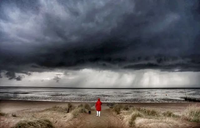
Weather Forecast: “It Promises to be Severe” … A Violent Storm Threatens Morbihan and Loire-Atlantique

WEATHER: Christened Alex, the storm will strike overnight from Thursday to Friday across Morbihan and the Loire-Atlantique with winds of up to 160 km/h
- Wind gusts could reach 150 to 160 km/h on the coasts and up to 120 km/h inland, according to forecasters.
- “At these speeds, there is a risk of falling trees. It can be described as a remarkable, almost exceptional storm, ”warns a meteorologist.
- The tide with a coefficient of 87 which will be high at 5:30 a.m. Friday morning will coincide with Alex’s peak in intensity, raising fears of submersions on the coast.
Her name is Alex and it promises to be a violent storm. During the night from Thursday to Friday, the first storm of winter is expected to hit the southern part of Brittany, in particular Morbihan, Loire-Atlantique and Ille-et-Vilaine. According to forecasters, wind gusts could reach 150 to 160 km/h on the coasts and up to 120 km/h inland. Accustomed to winter snuffing, Brittany must nevertheless prepare for a major event according to meteorologists. “It promises to be severe,” warns Steven Tual, forecaster at Meteo Bretagne . “At these speeds, there is a risk of falling trees. It can be described as a remarkable, almost exceptional storm ”.
Depression is expected around midnight on the night of Thursday to Friday and should strike from the Breton point to the Vendée all Friday morning. Islands like Houat, Hoëdic and Belle-Ile should experience violent gusts which require the greatest vigilance. The storm should then penetrate inland to follow “an atypical trajectory” which will take it to the region of Lorient and Pontivy before a detour to Normandy. The episode of wind and rain should return to the northern part of Finistère and Côtes d’Armor during the night from Friday to Saturday. “We expect 40 to 80 mm of rain but some areas could receive up to 150 mm in 72 hours, the equivalent of a month and a half of rain,” says Steven Tual.
#Météo #Bretagne #TempêteAlex 🔴💨 La tempête Alex s’annonce sévère entre le Morbihan, l’Ille-et-Vilaine et la Loire-Atlantique, prudence !
Détails ici : https://t.co/72A4tzDgqr pic.twitter.com/B6zmw0C1Ml— Météo Bretagne (@MeteoBretagne) September 30, 2020
Fears of submersions on the coast
The meteorologist looked at his archives to find traces of such a phenomenon. The last time was Zeus, who hit the region on March 6, 2017 with winds exceeding 190 km / on the Finistère tip. Before that, it was the famous storm of 1999 which had swept through France at Christmas time and left more than 90 dead and thousands of injured in France. “We are a degree below in terms of intensity but we must beware of aggravating factors,” warns the forecaster. The tide with a coefficient of 87 which will be high at 5:30 a.m. Friday morning will coincide with the peak of Alex’s intensity, raising fears of submersions on the coast.
#TempeteAlex : Rafales de vent tempétueuses attendues en milieu et fin de nuit de jeudi à vendredi (~130-140 km/h sur les côtes du #Morbihan et #LoireAtlantique voire plus sur îles/caps exposés) se propageant ensuite dans les terres en fin de nuit et matinée (100-120). #tempête pic.twitter.com/eUzjpkyaKK
— VigiMétéoFrance (@VigiMeteoFrance) September 30, 2020
Arriving very early in Autumn, this storm raises fears of falling trees, still very heavy due to the presence of leaves on their branches. “I think we must send a message of vigilance to the inhabitants because the episode will strike Friday morning, when people go to work.” We hope the message got through.
Enjoyed this? Get the week’s top France stories
One email every Sunday. Unsubscribe anytime.


