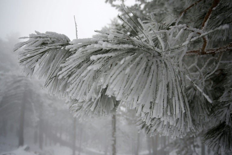
The Siberian Cold Settles in France, Before New Snowfall

The temperatures will begin to drop seriously across France from Sunday 25th February before the cold settles for all the week. The snow should also come back.
A wave of cold weather coming from Siberia is expected from Sunday 25 February 2018 over a large part of France which will certainly live on the coldest days of winter , before new snowfall in the middle of the week .
After a month of historically mild January and a cold and snowy early February, a moderate cold has settled over the past few days over the country, with temperatures of 3 to 7 degrees below normal temperatures.
“Moscow-Paris” en route
But an even colder wave is expected from Sunday. Known as the “Moscow-Paris” phenomenon, intense cold air masses will spread from Siberia to all of Western Europe.
This Siberian air must arrive Sunday afternoon on the northeastern quarter of France, before “rush on the country Monday and Tuesday,” said Friday Emmanuel Demael, forecaster at Météo France.
Monday, Tuesday and Wednesday should be the coldest days of winter, with expected minimums of -5 ° C to -10 ° C (-2 ° C to -4 ° C on coastal areas), or 7 at 11 degrees below normal. On the northern half, the cold could last at least until the end of next week.
#GrandFroid Jusqu’à -18 en températures ressenties en plaine la semaine prochaine !
Restez informés ❄👉 https://t.co/Z34IMbj7oV pic.twitter.com/TWVnzUG4pG— Météo-France (@meteofrance) February 23, 2018
Temperatures “feel” 5 degrees lower
The feeling of cold will be increased by the wind. The body makes a small layer of warmer air on the surface of the skin. When there is wind, this insulating layer is continually swept, and the body, which tries constantly to recreate it to restore balance, cools.
This perceived temperature, or “wind chill index,” which can differ from person to person, is calculated using an “empirical” mathematical formula that combines actual temperature and wind speed.
Next week, it will “remove at least 5 degrees from the temperatures displayed by the thermometers” to get the real temperature felt, said Mr. Demael.
With an expected average wind of 20 to 30km/h and gusts between 50 to 70 km/h, the temperatures feel like they are going down to -15 to -17 degrees in the open, and at least -25 degrees in the mountains, he said.

This culture of the temperature felt is old in the United States or Canada, but more recent in France where it was used in the 2000s to develop “cold weather” plans to limit the health impacts of cold waves, especially on vulnerable populations.
The “cold weather” plan was reactivated on Wednesday in 29 departments, opening up more accommodation for the homeless.
No records in sight
The most important cold waves are usually between late December and mid-February, according to Météo France. But “early” or “late” episodes are possible.
France has not experienced such a notable late episode since late February-early March 2005, when March cold records were broken in several cities on the 1st March (-15° C in Romorantin, -13° C in Poitiers, -12° C in Bergerac …). Météo France does not expect records next week.
Other remarkable episodes took place at the beginning of March 1971 with snowfall in the South-East and at the end of February 1948 (-20 ° C in Clermont-Ferrand and Saint-Etienne, -19 ° C in Lyon)
In February 1956, the coldest in history, and February 1986 (3 e colder) temperatures remained very low until the end of month.
New snowfall
From Wednesday, “a snowy offensive” is expected on the southern part of France , including coastal areas, from the southwest to the Côte d’Azur through the Massif Central and the Rhone Valley, according to M Demael.
The snow will then go up Thursday to the north. “It still needs to be refined, but we are likely to have a significant snow episode in much of the country Thursday and Friday,” said the forecaster.
Quelles vont être les caractéristiques et les zones impactées par la #vaguedefroid et la #neige🌨 la semaine prochaine ?🤔 Notre prévisionniste vous éclaire sur la situation à venir ⬇https://t.co/xeA5wVuVH4 pic.twitter.com/gkgkZ5nLFq
— La Chaîne Météo (@lachainemeteo) February 23, 2018
Enjoyed this? Get the week’s top France stories
One email every Sunday. Unsubscribe anytime.


