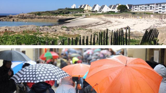
Weather in Lorient: Sunny Saturday, Rainy Sunday

A Sunny day on Saturday for Lorient and the surrounding areas but with the arrival on Sunday of an active disturbance, it will generate rain and sustained winds.
Saturday
Mists at dawn preceding a sunny morning with gradual rise of the mercury. Sun generous, for high altitude and beautiful sails smoothly by late morning and midday. In the afternoon, the generous sun of Lorient and the coastal border with fair-weather cumulus north of Quéven-Hennebont Kervignac-axis, made with the gradual arrival of high altitude sail from the ocean. Altitude sails thickening in the late afternoon sun visible. very small north wind veering southwest morning low afternoon. Fort Blocked: westerly swell <1 m. Low: 9 /10 degrees; maximum: 20 / 21 degrees; (8 / 9 degrees to 21 / 22 degrees inland). Mostly cloudy during the approach of a new disturbance; 18 degrees at 8pm, 14 degrees at midnight.
Sunday
The arrival of an active disturbance will generate moderate rain at dawn quickly becoming fairly abundant and continuous. continuous rains and sustained at midday. In the afternoon, the front that slowly traverses Britain generates overcast with continuous rainfall, moderate to fairly abundant. Precipitation gradually fading at the end of the afternoon. South weak wind at dawn, moderate morning and mid-day freshening in the afternoon (4 strength, gusting 45-55 km/h, 55-65 Groix and the exposed coast). Fort Blocked: westerly swell 1-1.5 m. Min: 12 ° / 13 °; maximum: 17 / 18 degrees (11 / 12 degrees to 18 / 19 degrees inland). Overcast with periods of rain, more present on the littoral, moderate wind from the northwest; 16 degrees at 8pm, 14 degrees at midnight.
Enjoyed this? Get the week’s top France stories
One email every Sunday. Unsubscribe anytime.


