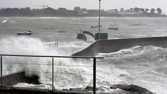
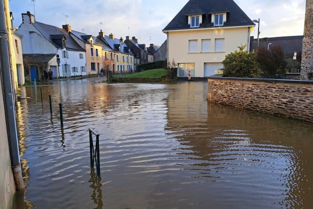
Lorient: Strong Winds Saturday, Stormy Sunday Night

The storm comes to Lorient, warns Pascal Talmon, amateur weather enthusiast. It will come from Newfoundland and Ireland.
The very broad low pressure system centered around Newfoundland to Ireland will generate a very disturbed flow.
Saturday
Overcast and grey morning with some light rains followed by a cloudy sky covered at mid-day. The arrival will be by early afternoon, the first blow is accompanied by continuous and heavy rains enough to early evening.
Winds will be from the southwest (force 4 gusting 50-60 km/h, 75 of Groix morning then 70-80 at mid-day, 95 on coast). Strong gale afternoon (force 6, 40-50 km/h gusting stormy 85-95 km/h, 105-110 on Groix and caps exposed). Fort Blocked: westerly swell 3 to 4.5 m. Low: 9 ° / 10 °; High: 11 ° / 12 °; (8 ° / 9 ° to 10 ° / 11 ° in the campaign). Variable moderate wind in the evening; 9 ° to 20 pm, 5 to midnight.
Sunday
Variable, bright and quite cold at dawn. Variable unstable morning clouds, generous in the country, and some coastal showers. By mid-day and afternoon, unstable sky alternates brief, light cumulus generating showers. Sky covering the end of the afternoon ahead of the storm.
Wind once again from the southwest will be more moderate and freshening in the morning (force 4 gusting 55-65 km/h, 80 Groix). Fort Blocked: westerly swell 4 m. Low: 2 ° / 3 °; High: 10 ° / 11 °; (1 ° / 2 ° to 9 ° / 10 ° in the campaign).
Storm
Part of Newfoundland at midnight, the arrival of a powerful depression in Channel on Sunday evening will generate overcast with continuous rainfall, moderate to fairly abundant. There will be a powerful southwest wind (force 5 gusting 85-95 km/h, 110 of Groix and 6 strength, gusting 90-105 km/h, 115-125 on Groix and caps exposed) in the second part of the night. It is advised to be careful, with a risk warning issued, in the open sea at 4 h 25 (90). Swell 6 to 7 meters.
Enjoyed this? Get the week’s top France stories
One email every Sunday. Unsubscribe anytime.


