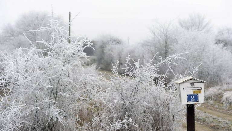
WEEKEND WEATHER: Here are the forecasts for the weekend weather in Lorient. Associated with a descent of cold air, the instability is reinforced on Sunday on the Morbihan region.
The cold makes an offensive this weekend in the area of Lorient. The snow could even return and fall on Sunday.
Saturday
The weather is variable in the morning with more intense thunderstorms north of Lorient, cumulus and some showers along the coast. Fine thunderstorms arrive in the late morning and midday with pleasant sensations in the sun sheltered from the wind.
In the afternoon, the instability is clearly strengthened and the thinnings, more discreet, compose with cumulus, numerous and imposing by generating showers, locally strong and stormy. Wind northeast very weak then weak northwest northwest weak in the afternoon. Strong-Blocked: West swell 1.5 m. Min: 4 / 5 degrees; max: 10 / 11 degrees; (from 3 / 8 degrees to 9 / 10 degrees in the countryside). Gradual return to the evening clearings with a drop in mercury; from 8 degrees at 8pm and 4 degrees at midnight.
Sunday
The formation of a minimum depression on the tip of Brittany, by contrast of air mass, will generate a variable sky in the morning and mid-day with many cumulus and clearings. In the afternoon, the instability is reinforced with brief thunderbolts, cumulus imposing succeeding by generating rain showers and rain and snow mixed on the 2/3 of northern Morbihan.
Flurries late in the afternoon with cooling. Westerly westerly wind weak in the afternoon, then faint then moderate in the early evening. Strong-Blocked: West swell 1 m. Min: 1 / 2 degrees; max: 5 / 6 degrees (from 0 / 1 degrees to 4 / 5 degrees in the countryside). Overcast in the evening with some flurries. Moderate northeasterly wind accentuating the feeling of cold; 2 degrees at 8pm and 0 degrees at midnight.
Descent of cold air
Combined with a strong Scandinavian-dominated anticyclone, the icy air (-20 degrees to 1500 m altitude) will be attenuated in Western Europe by cooling the air mass down to – 8 degrees altitude.The formation of a depression on Brittany favouring the descent of cold air by suction due to a wind corridor.


