Weather: A Storm is Coming this Sunday for the Pays de la Loire and Hauts-de-France

WEATHER: Many weather models are announcing two storm depressions, Sunday and Tuesday. The first storm should extend from the Pays de la Loire to the Hauts-de-France through the Paris Basin. And gusts, exceed 100 km/h. Let’s see that more closely.
You did not like Moscow-Paris and its icy cold wind? Well, here comes back New York-Paris. In other words, the good old west streams, certainly temperate, but also wet and sometimes muscular. Many weather models are announcing two storm depressions, Sunday and Tuesday. The first storm should extend from the Pays de la Loire to the Hauts-de-France through the Paris Basin. And gusts, exceed 100 km/h. Let’s see that more closely.
You probably remember storms Bruno, Carmen and Eleanor , who punctuated the end of 2017 and the beginning of this year. After the short but intense period of cold weather coming straight from Russia , we will return to a more classic temperate Atlantic weather for our coasts. Finished the bise d’Est, here is the flow of the west, their procession of depressions more or less marked, their string of rain grains, their litany of powerful winds.
From the next weekend, especially Sunday, and perhaps the beginning of the week after, two phenomena should come to strike the Great West.
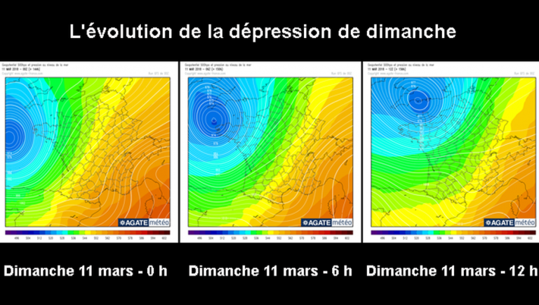
Gusts above 100 km/h
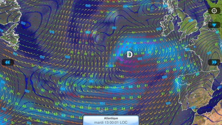
The first storm comes as often as the East Coast. After having impacted the United States, it will cross the Atlantic in five days (see below) , filling up slightly before regressing and thus regain strength as the Bay of Biscay approaches.
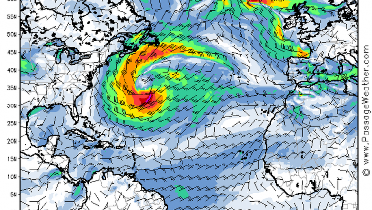
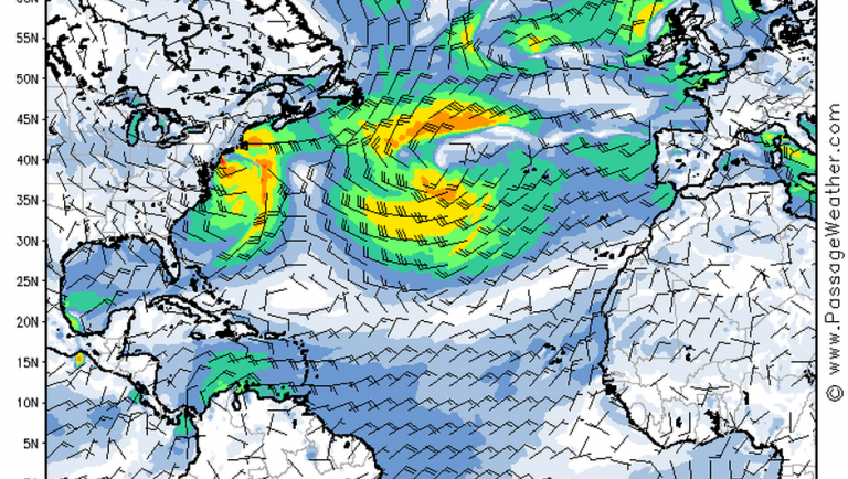
If it is still a little early to predict exactly its position and intensity (gale, gale or storm, but the gusts should anyway exceed 100 km/h), this first depression is still almost unanimous with the various weather models, who see it all approaching the south-west passing near Cape Finisterre.
What predictions for Tuesday?
The one that announces next, in the day of Tuesday, is more uncertain and all the forecasters do not agree between them.
If the existence of this depression is not called into question, its position and its displacement are still questionable. Some see it hitting the Southwest (see below) .
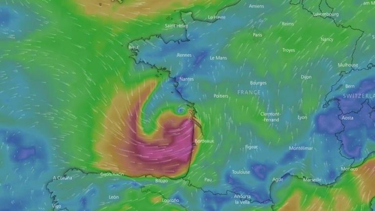
Others locate it on the near Atlantic or even a little further (see below) . As usual, to follow and watch!
Enjoyed this? Get the week’s top France stories
One email every Sunday. Unsubscribe anytime.


