Violent Winds and Floods: 14 South West Departments and Corsica in Orange Alert

Due to heavy weather (strong winds, rain-floods, waves-submersion), Meteo France has extended the orange alert to 16 departments, this Friday 13th December
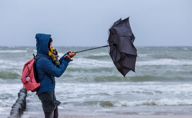
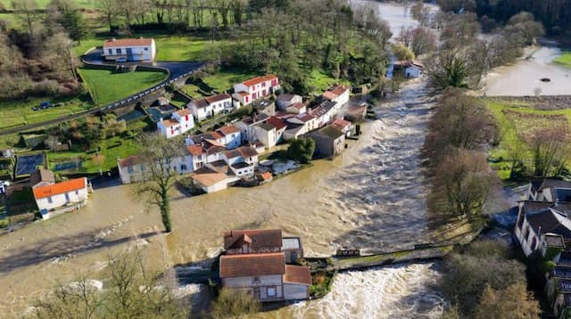
Attention to those in the South West of France and Corsica. This Friday 13th December 2019, Meteo France has expanded the orange alert for violent winds, rainfall, flood waves, to 16 departments.
These are: Ariège, Aveyron, Charente-Maritime, Dordogne, Haute-Garonne, Gers, Gironde, Landes, Lot, Lot-et-Garonne, Pyrénées-Atlantiques , Hautes-Pyrénées, Tarn, Tarn-et-Garonne, Haute-Corse and Corse-du-Sud.
🔶 16 dpts en #vigilanceOrange
Restez informés sur https://t.co/rJ24zzmmy4 pic.twitter.com/gID61ArDM2
— VigiMétéoFrance (@VigiMeteoFrance) December 13, 2019
Gusts up to 160 km/h
The phenomenon of heavy rains continues until the night from Friday to Saturday. The most marked accumulations are targeted on the exposed relief (Pyrenees, Montagne Noire), of the order of 20 to 50 mm in plain and 70 to 120 mm in mountain punctually, perhaps a little more.
#MeteoDeDemain
🌬️ Vents tempétueux dans sud de la France.
Tempête sur montagne corse avec abondantes chutes de neige au-dessus de 1500m.
🌧️ Pluvieux dans l’est avec neige sur le relief au-dessus de 800m.Nouvelle perturb. par l’ouest l’après-midi
➡️https://t.co/oAkxOPa1eb pic.twitter.com/y8Vj3y4yGH
— Météo-France (@meteofrance) December 12, 2019
On the departments affected by this wind from west to northwest, average speeds will reach 50 to 70 km/h and gusts of 90 to 110 or 120/130 km/h. “In the interior of the Southwest plain, these gusts can suddenly reach 90 to 100 km/h punctually up to 110 km/h,” warns Météo France.
The wind will be even more violent on the relief of the Pyrenees with gusts of 100 to 130 km/h, up to 160 km/h on the summits.
Le #vent a soufflé fort cette nuit à l’ouest avec plus de 130 km/h relevé en #CharenteMaritime. Les cumuls de #pluie dépassent déjà localement 140 mm sur le #sudouest avec une situation compliquée ce matin du sud-ouest à la #Bretagne.https://t.co/v0j63v2CYB pic.twitter.com/UwSLxtkFzP
— La Chaîne Météo (@lachainemeteo) December 13, 2019
Attention to the waves
This very strong wind will cause significant waves on the coast. “In a context of relatively high tidal coefficients, the expected strong waves, associated with a significant rise in sea level (surge), may cause submersions on the exposed or vulnerable parts of the coastline concerned by this vigilance. “
Enjoyed this? Get the week’s top France stories
One email every Sunday. Unsubscribe anytime.


