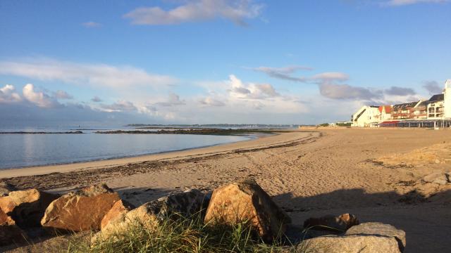
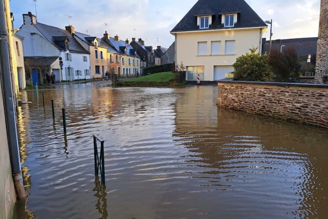
The weather in Lorient: Bright Saturday, Cloudy Sunday

The anticyclone centered in the Azores Bay of Biscay will push the active rains further North, creating a bright sunny Saturday, and a cloudy Sunday in and around Loriet.
Saturday
Mists at dawn before a sunny morning with discrete high altitude filaments. Sun generous, for high altitude cumulus sails and good weather in mid-day. In the afternoon, the sun, generous enough for Lorient and the coastal border, despite high altitude sails increasingly visible, is embellished with beautiful cumulus north of Quéven-Lanester Kervignac-axis. Very low Wind southeast at dawn very low veering southwest in the morning and low in the afternoon. Fort Blocked: westerly swell <1 m. Low: 6 / 7 degrees; maximum: 17 / 18 degrees; (5 / 6 degrees to 17 / 18 degrees inland). Cloudy ; 14 degrees at 8pm and 12 degrees at midnight.
Sunday
The very gradual arrival of a very attenuated front will generate a cloudy sky at dawn covering over of the morning. Very dominant cloud covered at mid-day. In the afternoon, the disturbance that slides slowly into the anticyclone generates overcast, sometimes gray, with rare occasional drizzle northeast of a line-Plouay Baud Auray. Wind west northwest low (more moderate Groix gusting 25-35 km/h). Fort Blocked: westerly swell <1 m. Low: 9 / 10 degrees; maximum: 17 / 18 degrees (8 ° / 9 ° to 17 / 18 degrees inland). Overcast and mild evening (rare drizzle); 16 degrees at 8pm and 15 degrees at midnight.
Enjoyed this? Get the week’s top France stories
One email every Sunday. Unsubscribe anytime.


